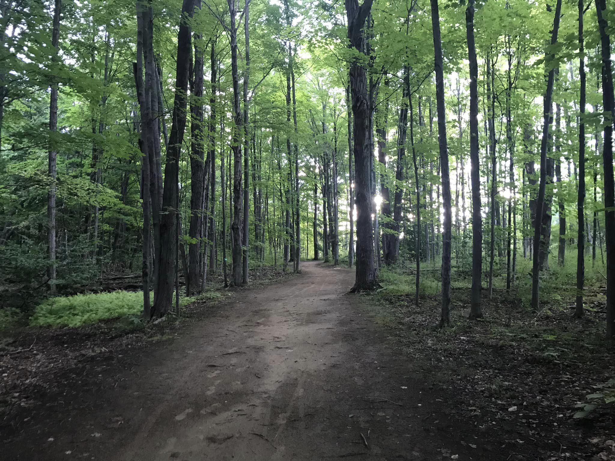
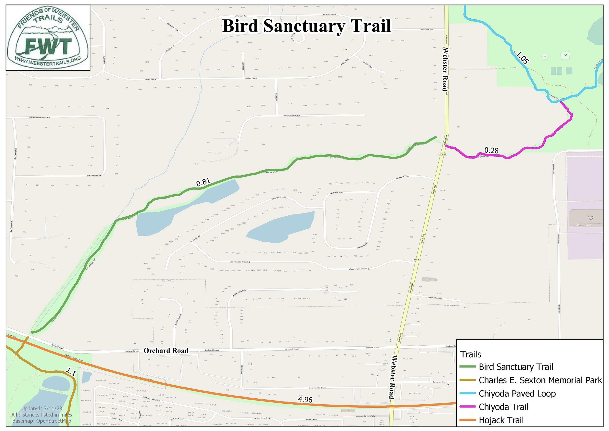
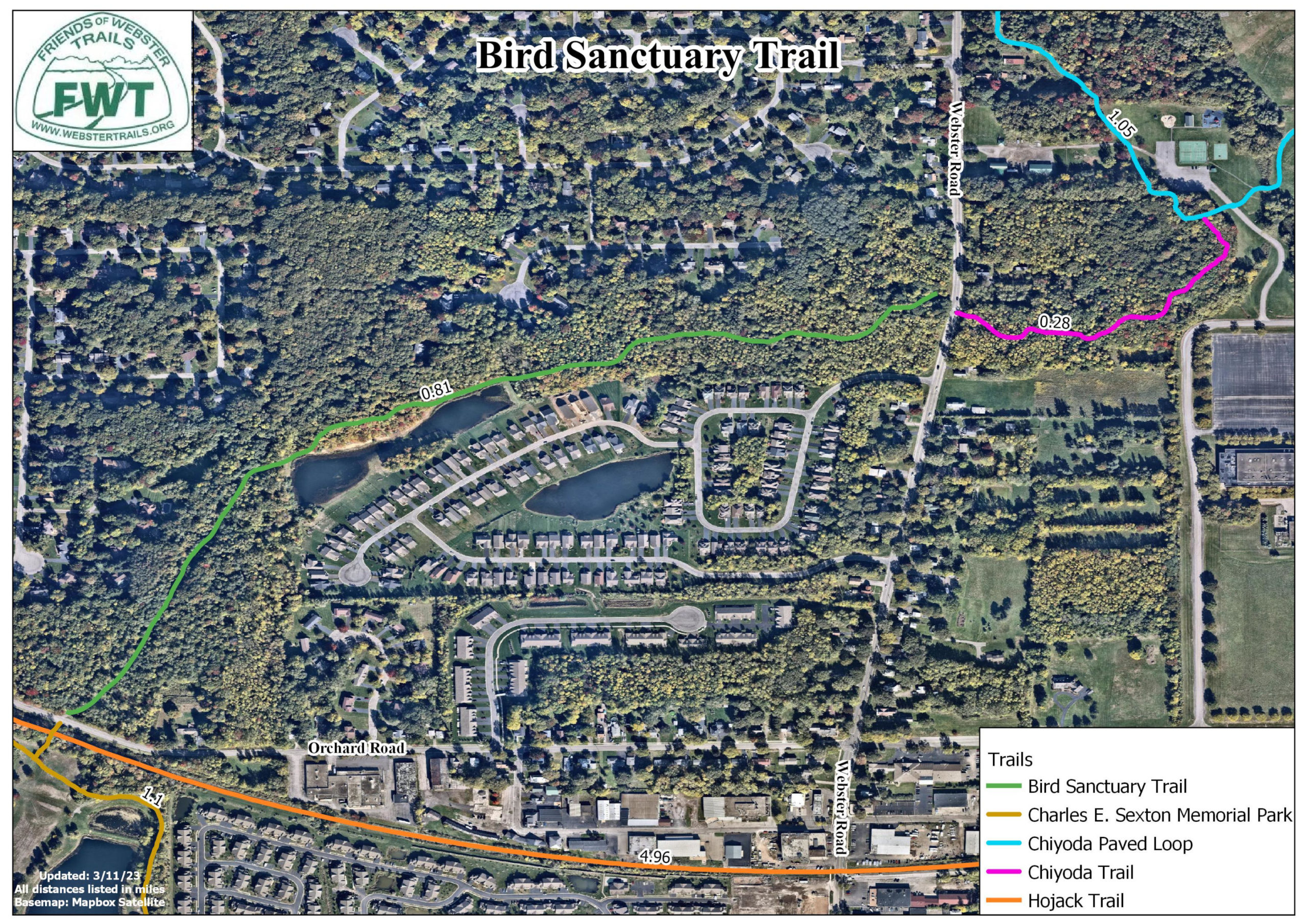
The Bird Sanctuary Trail is a linear trail between the Charles E. Sexton park walking path and State Route 250. Crossing Route 250 leads to the Chiyoda Trail. This trail is also accessible from the Hojack trail.
Park on Orchard Street at the end of the trail, or at the Hojack/Charles Sexton parking just to the west of that on Orchard Street.