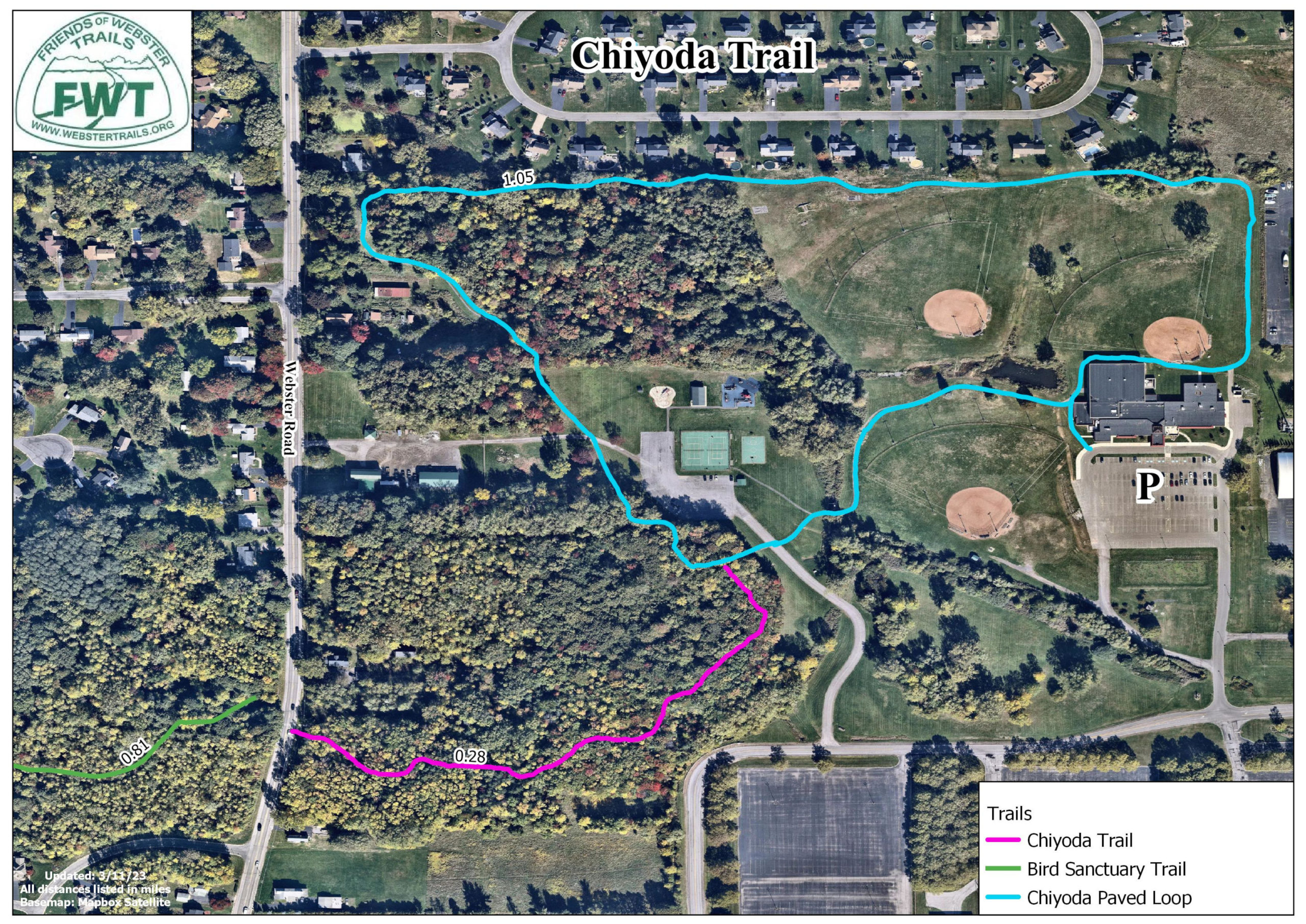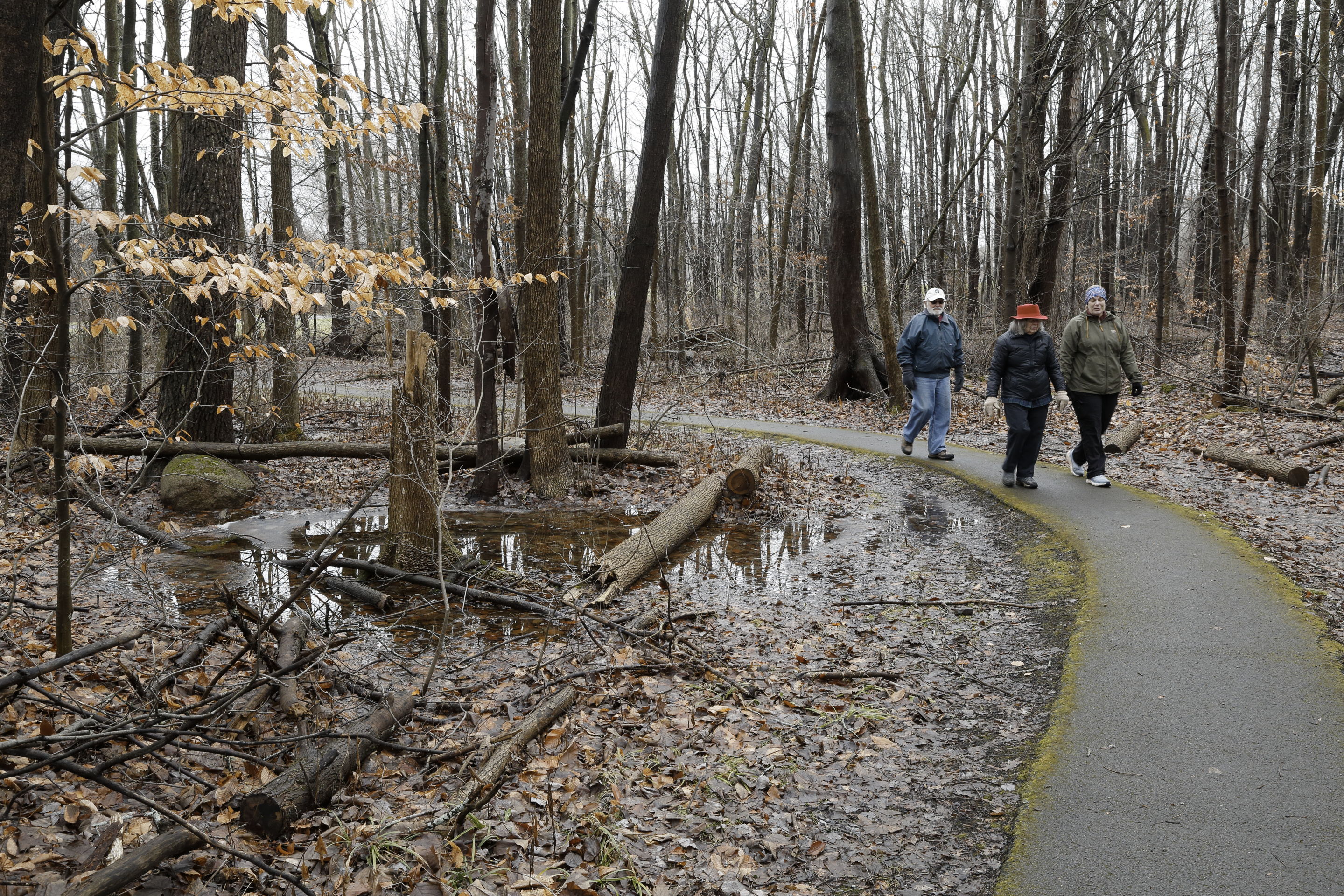
The Chiyoda Trails are located at the Webster Recreation Center. They consist of a paved trail (1 mile loop) around the ball fields and the First Responders Memorial Playground, plus a packed dirt trail through the woods (0.27 mile) that connects to the eastern part of the Bird Sanctuary Trail at State Route 250.
Map
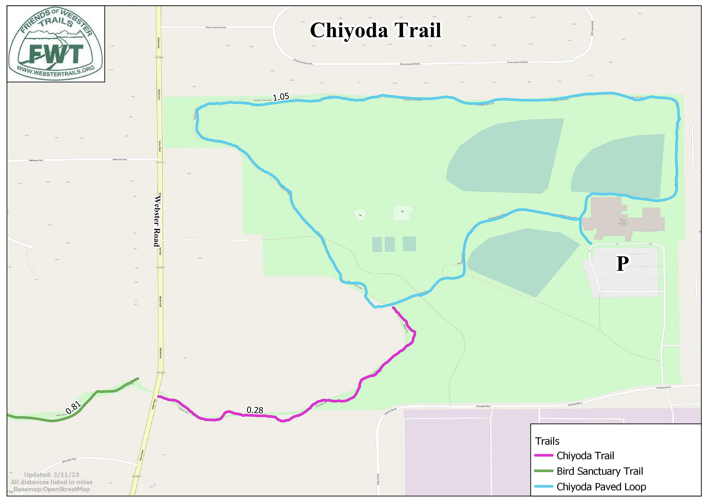
Satellite Map