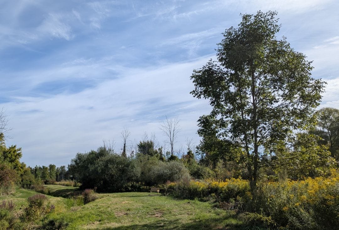
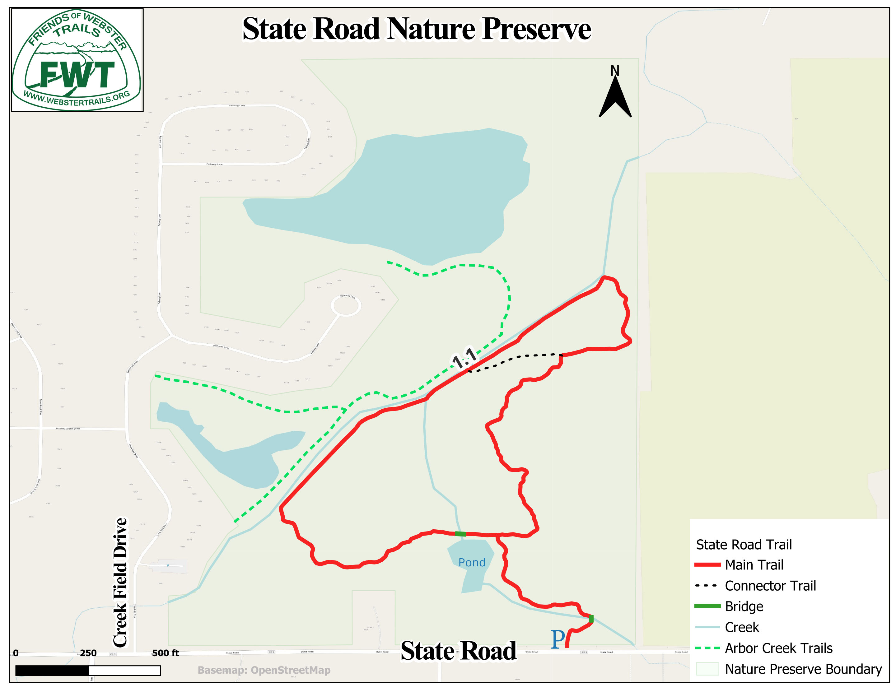
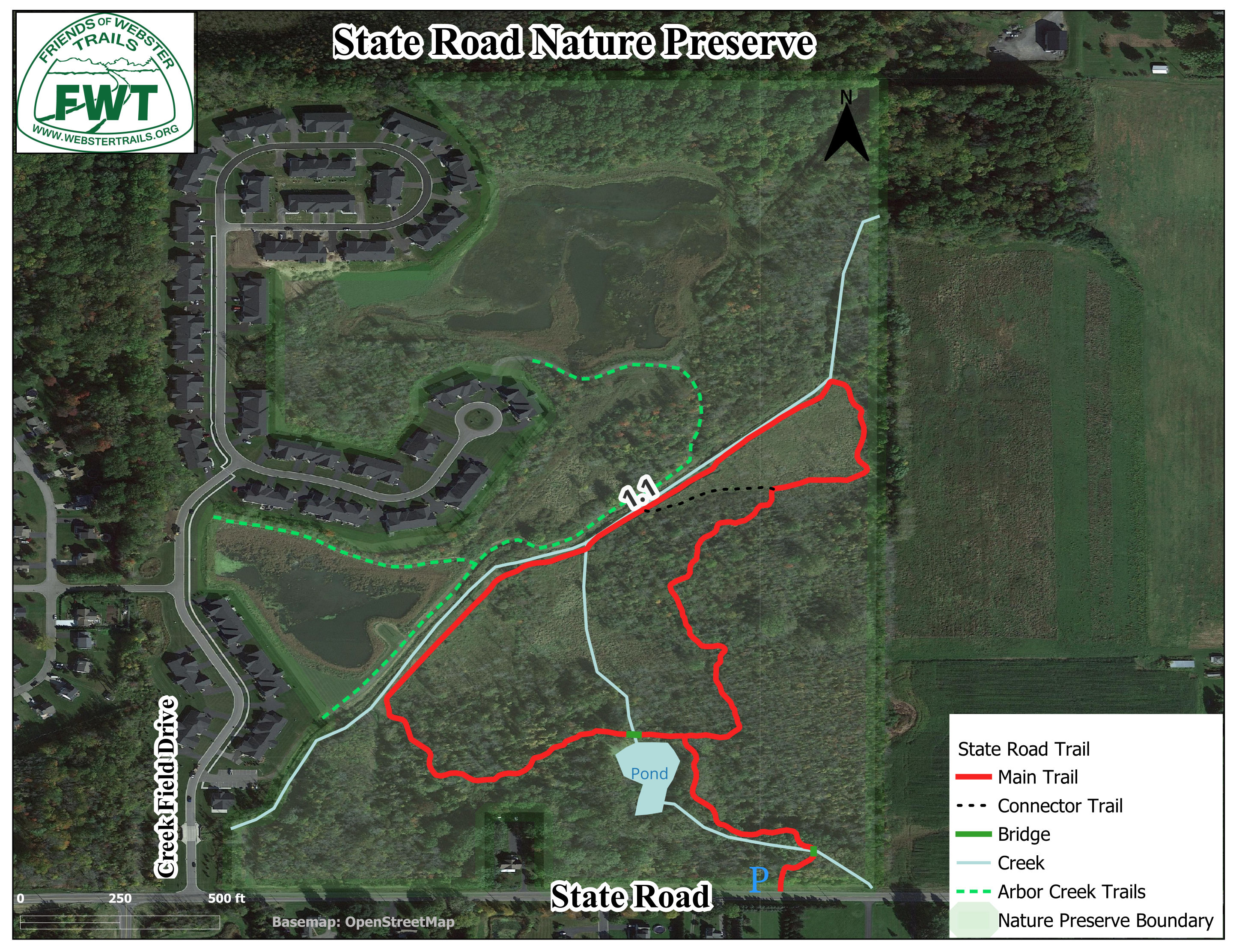
The 84-acre preserve was created in 2019 and consists of second growth forest, wetlands and ponds. It is bisected from the SW to the NE by Four Mile Creek, and consists of two parts.
- On the west side of Four Mile Creek, the trails connect the Arbor Creek Community Center with the neighborhood. This system is maintained by the homeowners association.
- On the east side of the creek, the short Broken Willow trail leads from the parking lot on State Road to the pond in the woods. There it connects to a one mile Red Trail loop which takes you through woods and grasslands and along Four Mile Creek. There is also a Blue Trail extending to another State Road trailhead and a connector trail that cuts through the Red Trail loop. All trails on the east side are flat and of easy to moderate footing. The east trails are maintained by Friends of Webster Trails.
Future plans for this unique property include a bridge to connect the two trail systems.
Trail Conditions
The trails can be very wet and muddy in the spring, and poison ivy is prevalent.
History
Ninety years ago the property was farmed fields with apple orchards in the southern area. In the 1950s a farm pond was built in that area. Shortly thereafter, farming ceased and the dryer ground reverted to woodland, the wetter floodplain to grass and cattail. The development of the subdivision included the creation of several large retention ponds west of the creek.