This new preserve features mature forest and a dense network of easier to moderate trails that connects to the pink and orange trails in Whiting Road Nature Preserve. The park was conserved by former owners Gary and Judy Wood with funds provided by a New York State DEC Community Forest Conservation Grant, and a donation in honor of the late Michael A. Johnson.
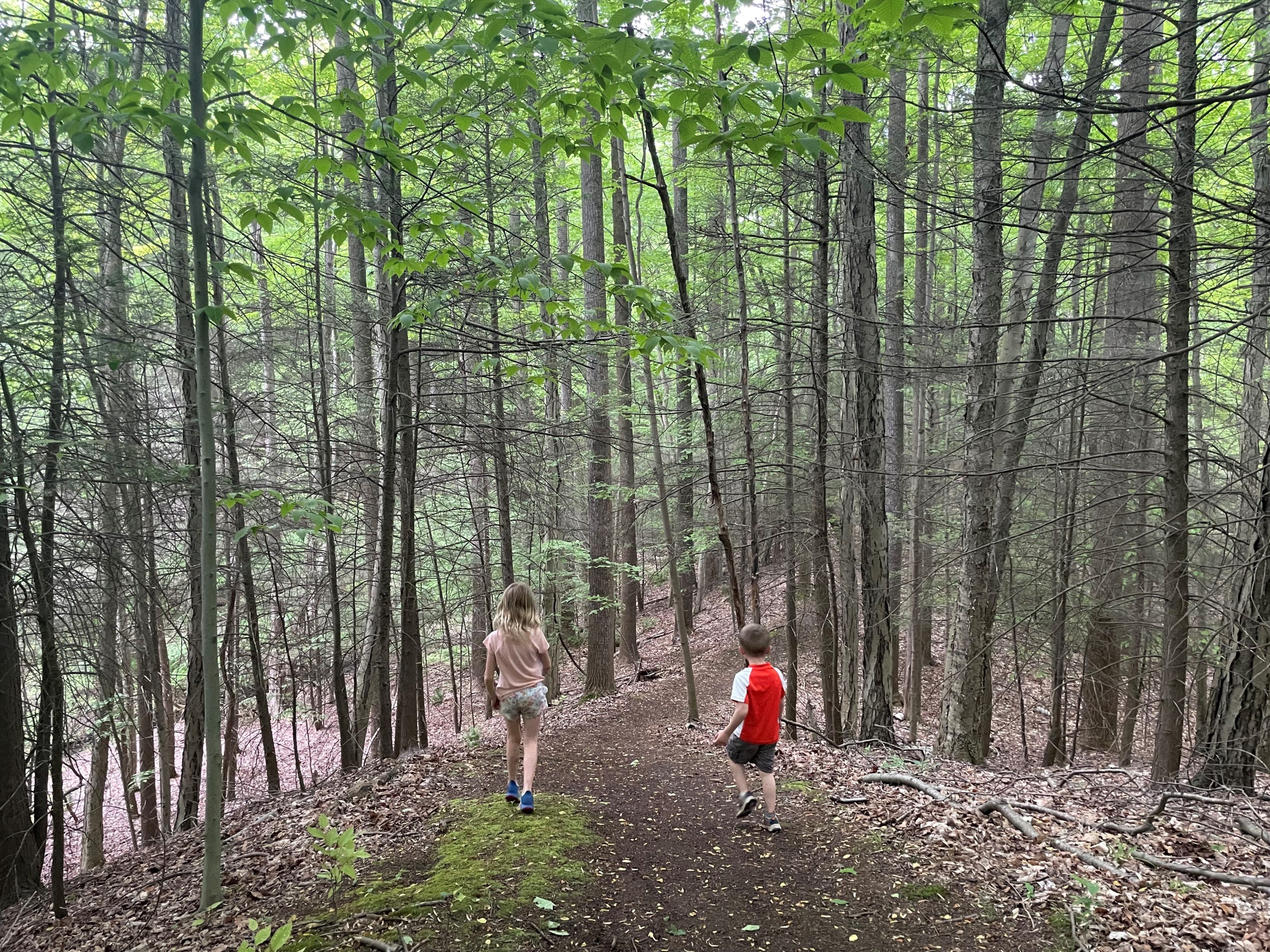
The area has a high diversity of trees, including Eastern Hemlock, American Beech, Sweet Birch, Tulip Poplar, Sugar Maple, Quaking Aspen, Black Cherry, Norway Spruce, Red Pine, White Pine, Cotton Wood, Red Oak, Red Maple, Yellow Poplar.
Wildlife is abundant. Deer, red and grey fox, fisher, coyote, turkey, and many avian species are commonly observed.
Keep a sharp lookout for extensive hillside terracing related to past agricultural activities, and hidden treasures like a half-buried car engine, an old cistern, and a stone foundation.
Note that work is ongoing to improve the trails in this new preserve.
Trail Descriptions
Herman Road Forever Wild Forest only became a park in September of 2023 and trail installation and improvements are ongoing. Current marked trails include the following:
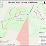
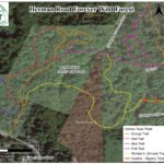
- Orange Trail: central trail with gentle to medium grade following a stone driveway installed in the 1970s, then looping around the plateau in the northern most portion of the park. This trail provides access to the trailhead and parking on Herman Road, and all other trails in the park.
- Yellow Trail: the yellow trail is named after the late Michael A. Johnson, whose family donated a portion of the funds necessary to create the park. This moderate trail connects to the orange trail in Whiting Road Nature Preserve. Yellow blazes are currently installed only to HRFWF property line.
- Pink Trails: a mix of old cart path and single track providing access to the northeastern portion of the preserve, and connecting to the pink trail in Whiting Road Nature Preserve. The trails descend into a woody wetland with abundant ferns and mature trees. The trail crosses two muddy/wet areas.
- Blue Trail: this accesses the southwest portion of the preserve, and connects the orange trail to the red trail. Take a break on the two benches cut from a fallen Black Cherry tree.
- Red Trails: These trails follow ridgelines and descend into valleys in the northwest portion of the park. The northwesternmost red trail crosses a wet area and includes two very steep hills.
Permitted Uses
Permitted uses include, but are not limited to, hiking, running, biking, cross-country skiing, and snowshoeing. Please note that hunting and motorized vehicles are prohibited in the park.


